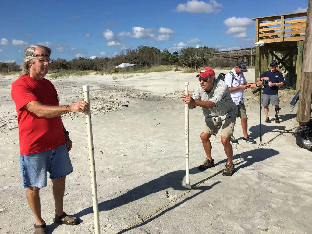
For the last 11 years SINERR, with the help of their Friends group, has been monitoring the beach profile of Nanny Goat beach.
Beach profile monitoring is usually undertaken as survey transects running shore normal from the dune to the low water mark. Sufficient measurements of elevation and distance are taken along the profile to accurately establish the profile cross section. The survey profiles are registered back to survey bench marks on the ground, often in the sand dunes and safe from erosion. We recently added a virtual benchmark using GPS to prevent the loss of the bench mark that was secured on our Pavilion structure, which washed away during hurricane Irma in 2017. The measurements are taken every 3 months and maybe after storm events. These measurements have provided valuable information on a national level regarding the effects of shifting sands and shoreline on our beaches. It is noted that this barrier island has been moving in a southwesterly direction on an average of 1 1/2 – 2 feet per year.