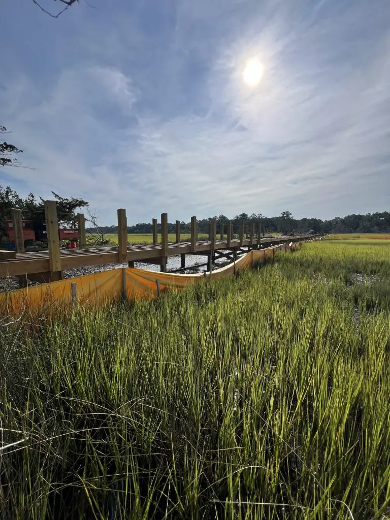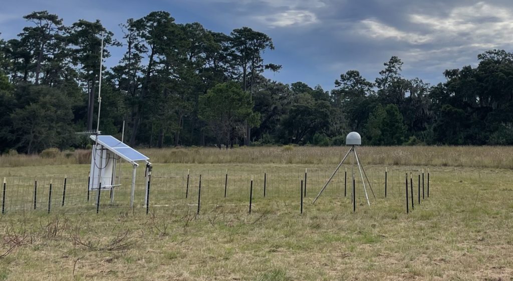
In Fall 2023, in partnership with NOAA’s National Geodetic Survey (NGS) and the National Park Service (NPS), Sapelo Island National Estuarine Research Reserve (SINERR) installed a permanent Continuously Operating Reference Station (CORS) in the field that was formerly an airstrip on Sapelo Island. Georgia has very few COR stations compared to other states. The collection of CORS across the United State is known as the NOAA CORS Network (NCN). The NCN is critical for surveying accurate horizontal and elevation GPS coordinates, by providing Global Navigation Satellite System (GNSS) data, supporting three-dimensional positioning and geophysical applications throughout the United States. Prior to the installation of this CORS, the coastal region was a GNSS “desert”, with no reference stations available between Savannah and Fernandina, Florida. GPS accuracy is important to a variety of activities undertaken by SINERR, including measuring sea level rise and land elevation changes. Installing a CORS on Sapelo increases the accuracy of GPS equipment not just for SINERR, but also for surveyors, GIS users, engineers, scientists, and other people who collect survey-grade GPS.
The data is generously hosted by the NPS, which pushes the data to the NCN. The construction of this station is meant to withstand hurricanes, floods, and other extreme weather events. Researchers can request to use the CORS as a base station for their RTK units.