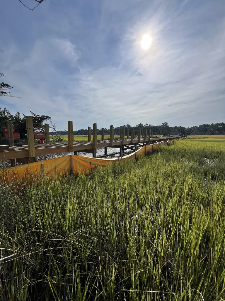
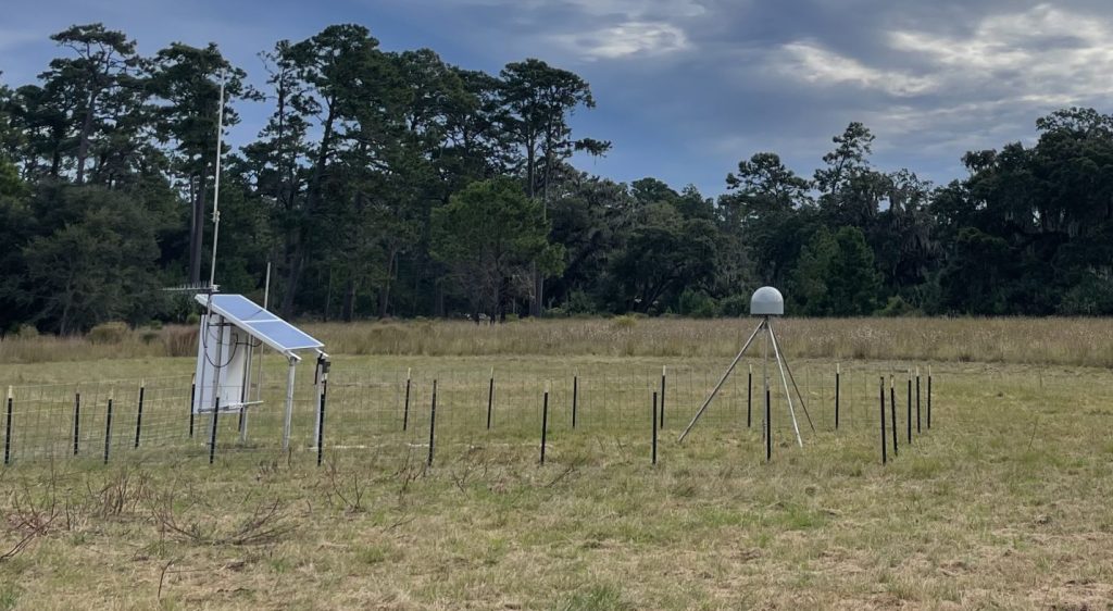
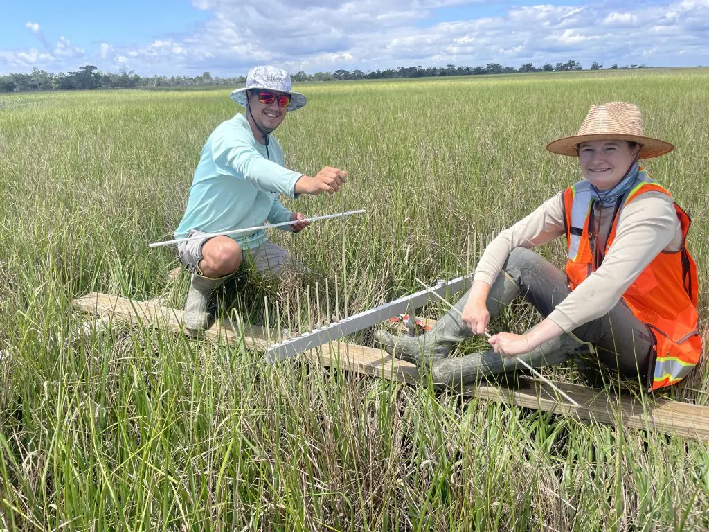
Stewardship – sometimes in partnership with the Research Program – monitors changes to habitat over space and time. This is done through a variety of tools and projects, including GIS mapping, uncrewed aerial systems ( i.e., drones), GPS technologies, and field measurements. Read about some of our projects below.