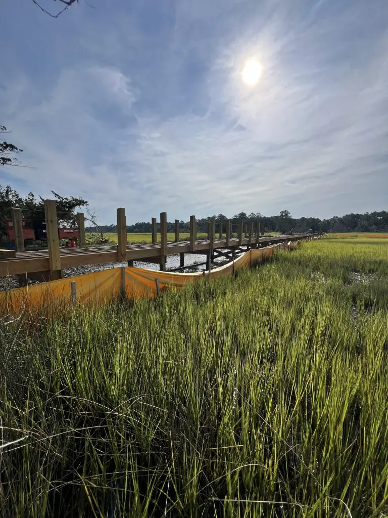
The goals of the Wetlands & Water Level (WLWL) Monitoring Project (formerly Sentinel Site) are to track changes to our coastal wetlands through monitoring changes in rates of soil accretion, water levels in relationship to land, and vegetation transitions. This effort will aid in anticipating broad scale changes to similar coastal wetlands. Our site is currently on the upstream and downstream sides of Dean Creek, on either side of Beach Road.
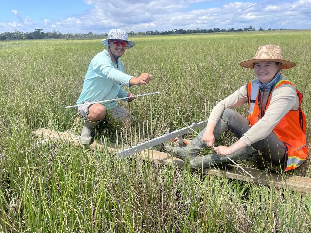
Since 2009, we have been collecting data at our WLWL site. We measure six surface elevation tables (SETs; pictured above), that have been tied into a vertical control network. This is a network of fixed benchmarks that give us a relative elevation of a fixed point. Two SETs were first measured in 2009, and the additional four SETs were installed in 2020. In addition to SETs, we measure vegetation metrics (stem density, stem height, dominant species, percent cover) through fixed position of 0.5 x 0.5-meter- quadrats.